Water Level
581
Water Temperature
34 degrees
Barometric Pressure
29.91
Water Clarity
5-6 in
Starting March 1st -spring fishing rules go into effect as follows
OHIO FISHING LICENSE AVAILABLE FOR PURCHASE HERE AT THE SHOP.
FREE REGULATION BOOK INCLUDED

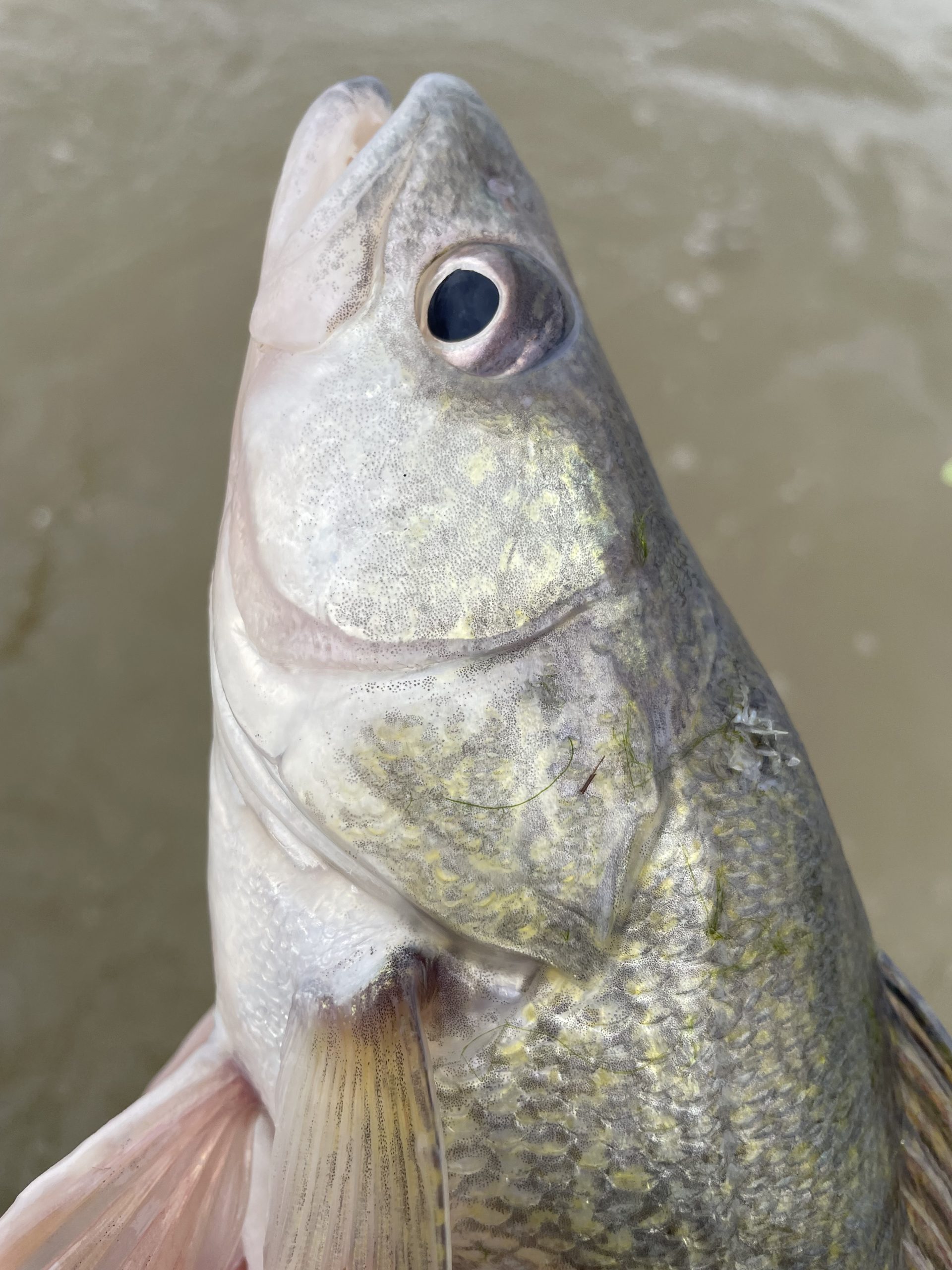
Walleye bag limit – 6 fish per angler per day – 15 inch minimum
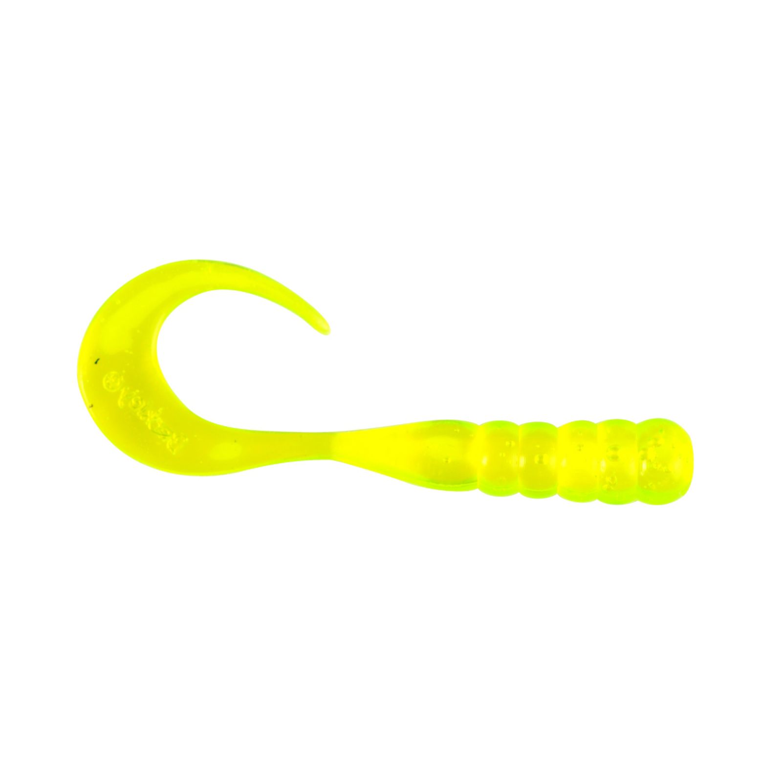
NO FISHING WITH A LINE WITH
MORE THAN A SINGLE HOOK.
The line may not have a hook larger than ½
inch from shank to point, or lure having more
than a single hook larger than ½ inch from
shank to point. Double and treble hooks are
prohibited. These regulations apply to the
following areas:
The Maumee River from the Grand Rapids
Providence Dam to a line in the Maumee
Bay from Little Cedar Point to Turtle Island;
The Sandusky River from the Waterworks
Dam in Tiffin to a line running ¼ mile east
of and parallel to the full length of the
Norfolk Southern railroad bridge in Sandusky Bay;
The Portage River from State Route 19 to
the dam at Elmore;
The Mahoning River from the dam at Berlin Reservoir to Lake Milton.
FISHING IS ALLOWED ONLY
FROM SUNRISE TO SUNSET IN
THE FOLLOWING AREAS:
The Maumee River from the Ohio Turnpike
bridge to the Old Waterville interurban
bridge at the end of Forst Road in Wood
County, and from the State Route 295 bridge
to the Grand Rapids Providence Dam;
The Sandusky River from the Waterworks
Dam in Tiffin to the northern tip of Brady’s
Island in Fremont;
The Portage River from State Route 19
to the dam at Elmore;
The Mahoning River from the
dam at Berlin Reservoir
to Lake Milton.
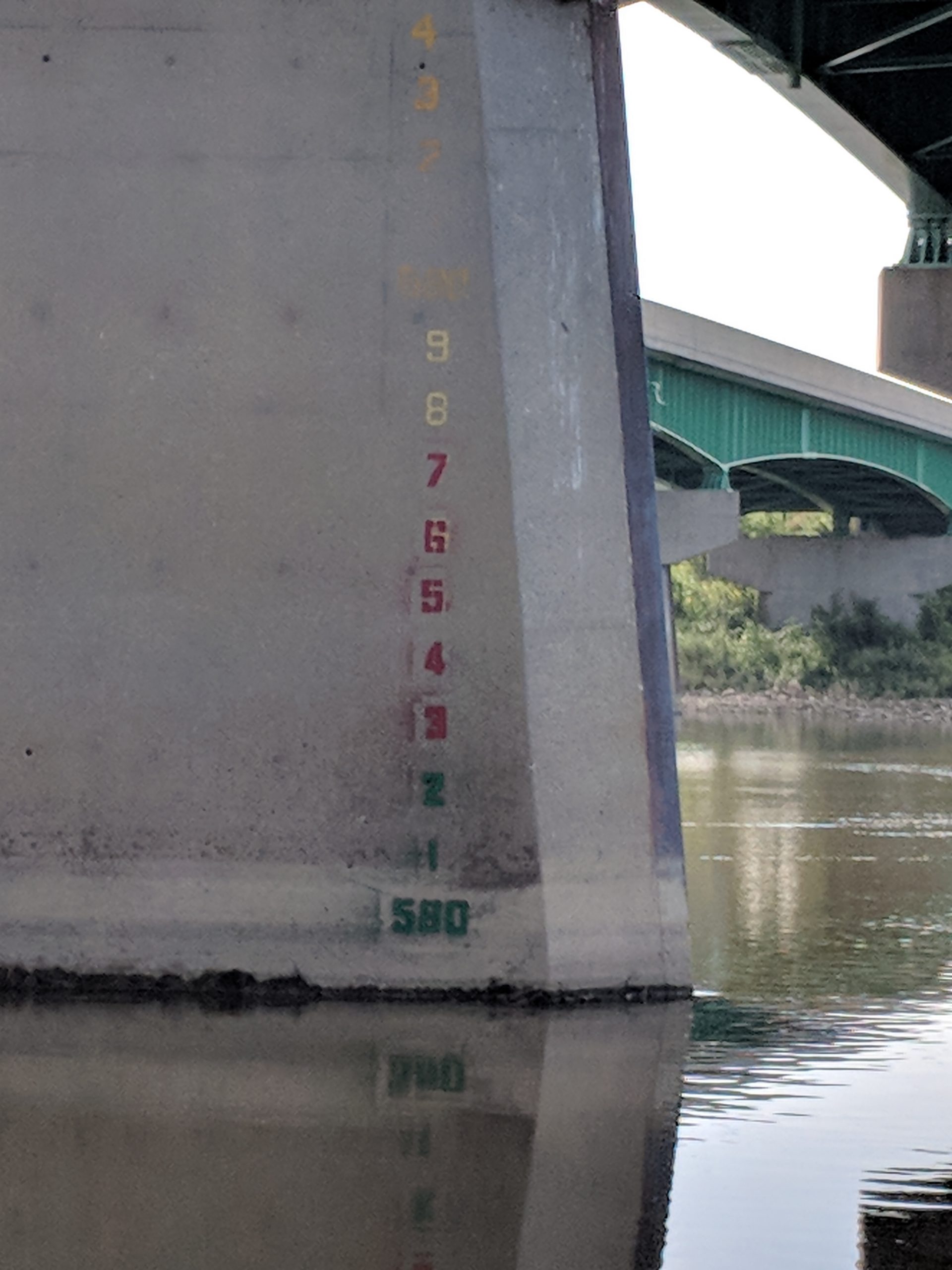
Water Level Explained: We use the gauge under the 475 bridge as our main source for water level information . Feet above sea level is how it is measured- 582 ft above sea level is considered relatively normal and good wading conditions for the Maumee – This also the gauge used by the Toledo Metroparks to determine if wading to Bluegrass island is safe/permitted.
Besides the world Famous Maumee River walleye run we also have the Sandusky river running over there thru Fremont Ohio Being a smaller more shallow river it warms more quickly than the Maumee, so we often see the Sandusky producing fish a few days before we see them here. Also the Sandusky river spawning grounds are in closer proximity to Lake Erie so the fish dont have as far to travel to hit the rocky, brushy gravel beds for spawning.
Have fun be safe and good luck fishing