Water Level
580-low- crossing to bluegrass island is permitted.
Water Temperature
40 degrees
Barometric Pressure
30.45
Water Clarity
6-8 inches
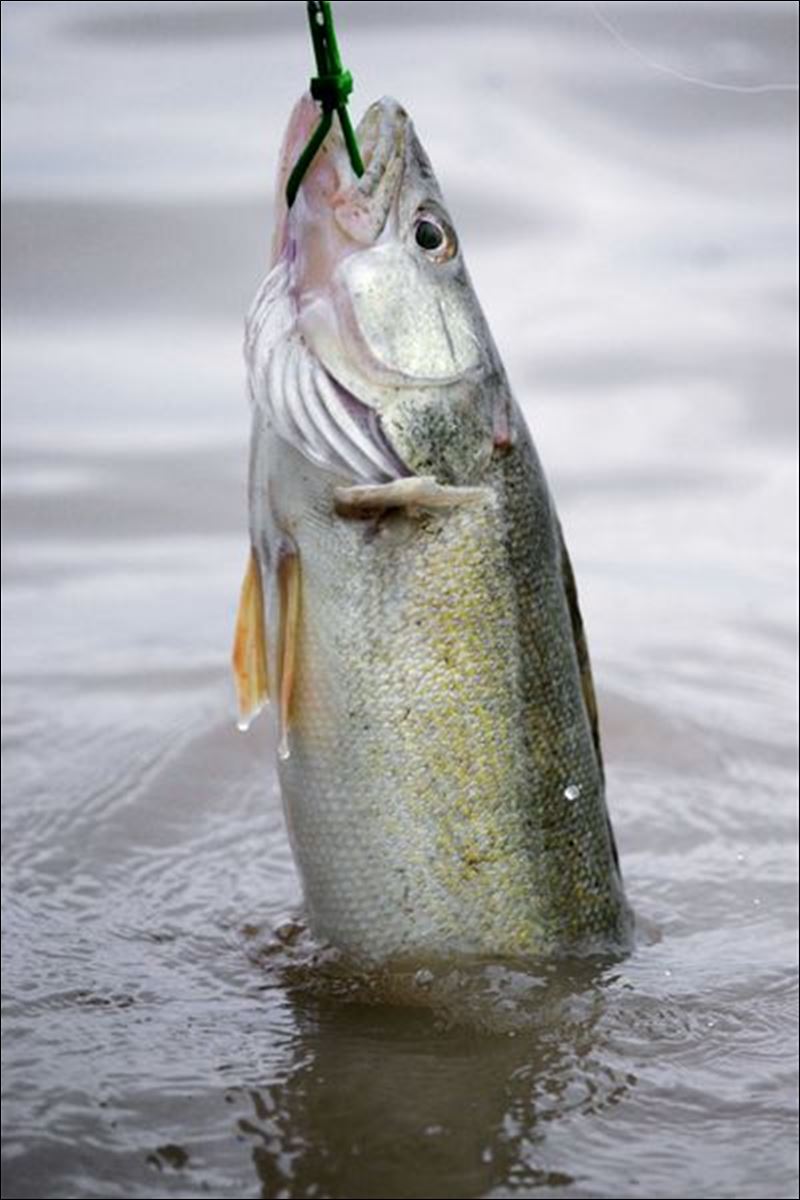
AND HERE WE GOOOOO! Lets have a great Run!
SUNRISE/ FIRST CAST-7:09 AM
SUNSET/ LAST CAST-6:24 PM
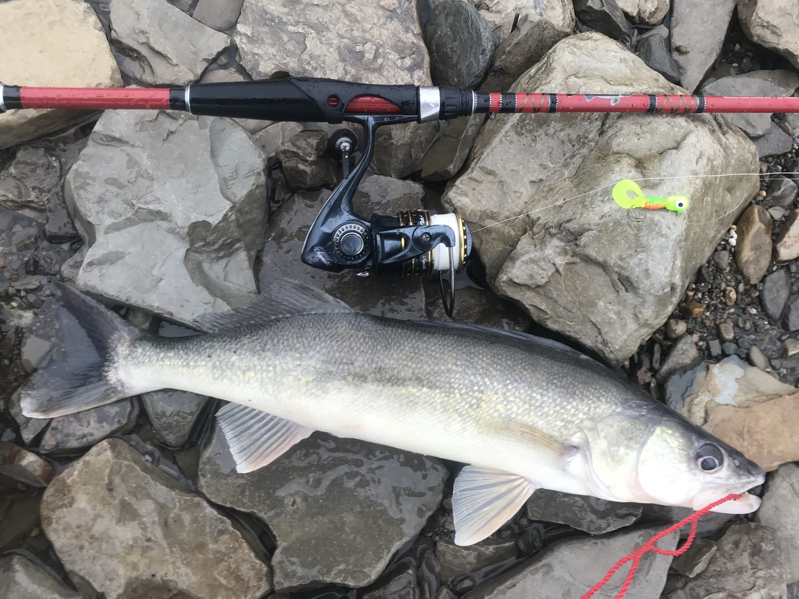
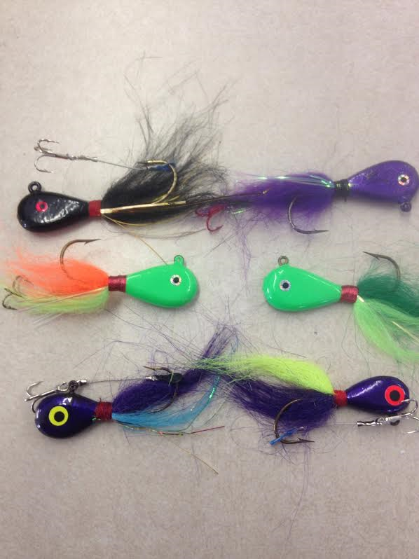
COLORS: A good rule of thumb on where to start is “bright colors on brighter sunny days / dark colors on the cloudy overcast days” Walleye don’t quite see colors the same way we see them. Keep in mind that we also have all colors available in the slightly larger 4 inch tails. More visible and gives a better vibration in this muddyish water
WEIGHT: 1/2 oz , 5/8 oz– waters low, so you dont need much weight
BLUEGRASS ISLAND: Located in Sidecut Metropark – Crossing is permitted
Today ,March 1st, begins the 2024 spring fishing regulations.
For Full list of regulations refer to the 2024-25 regulation book at”wildlife.ohiodnr.gov” or feel free to stop in or give us a call-we study these regs pretty hard so that we can help everyone have an enjoyable fishing experience.
Walleye bag limit is 6 in the Maumee river all the way through the spring walleye run!
2024-2025 OHIO FISHING REGULATIONS
SITE-SPECIFIC REGULATIONS
MAUMEE, PORTAGE, MAHONING, & SANDUSKY RIVERS
The following regulations are in effect from March 1 to April 30, 2024
NO FISHING WITH A LINE WITH
MORE THAN A SINGLE HOOK.
The line may not have a hook larger than ½
inch from shank to point, or lure having more
than a single hook larger than ½ inch from
shank to point. Double and treble hooks are
prohibited. These regulations apply to the
following areas:
– The Maumee River from the Grand Rapids
Providence dam to a line in the Maumee
Bay from Little Cedar Point to Turtle Island;
The Sandusky River from the Waterworks
dam in Tiffin to a line running ¼ mile east of
and parallel to the full length of the Norfolk
Southern railroad bridge in Sandusky Bay;
The Portage River from State Route 19 to
the dam at Elmore;
The Mahoning River from the dam at Berlin Reservoir to Lake Milton.
FISHING IS ALLOWED ONLY
FROM SUNRISE TO SUNSET IN
THE FOLLOWING AREAS:
The Maumee River from the Ohio Turnpike
bridge to the Old Waterville interurban
bridge at the end of Forst Road in Wood
County, and from the State Route 295 bridge
to the Grand Rapids Providence dam;
The Sandusky River from the Waterworks
dam in Tiffin to the northern tip of Brady
Island in Fremont;
The Portage River from State Route 19 to
the dam at Elmore; The Mahoning River from the dam at Berlin Reservoir to Lake Milton.
Water Level Explained: We use the gauge under the 475 bridge as our main source for water level information. This is the same gauge that is used by the Metropark to determine whether wading to Bluegrass Island is permitted. It is measured in feet above sea level.
General Guide Lines for Water Level:
Below 581 – Considered “low” water.
Below 582 – Crossing to Bluegrass is permitted when the water level is below 582. The Metropark will have a sign out saying whether or not it is permitted, we also have it here on our report. Reminder that the water level can rise very quickly. Be cautious.
582 – Considered “normal” and good wading conditions for the Maumee River. You are NOT allowed to cross when the water level is at 582 or higher.
Above 582 – This is considered to be “high” water.
LAKE ERIE
Dont forget we have a shop out on the lake now.
Maumee Tackle Lakeside:
10408 Corduroy Rd. Curtice, OH 43412
419-836-7351
Hearing of a few anglers braving the chill and doing a bit of reef trolling, and jigging here and there with some positive results.
We have Jig bite supplies and more.
Have fun , be safe and good luck fishing.
Suggested Baits
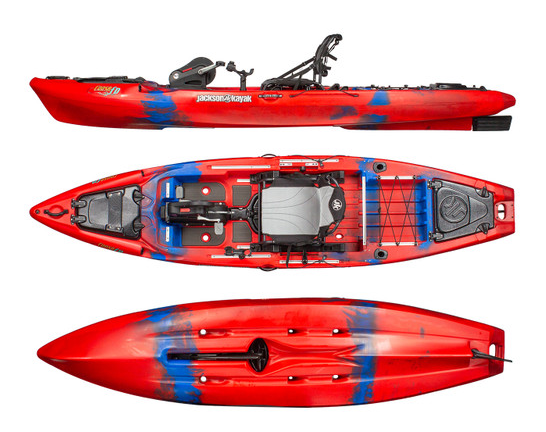
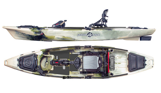
Jackson - Bite FD - 2023
 Buy Now
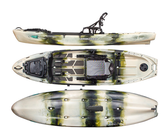
Jackson - Coosa FD - 2023 -BLOWOUT SALE!
 Buy Now
Jackson - Coosa X - 2023
 Buy Now
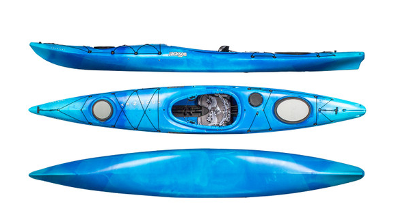
Jackson - Knarr FD - 2023-BLOWOUT SALE!
 Buy Now